Assessment and Recommendations Report
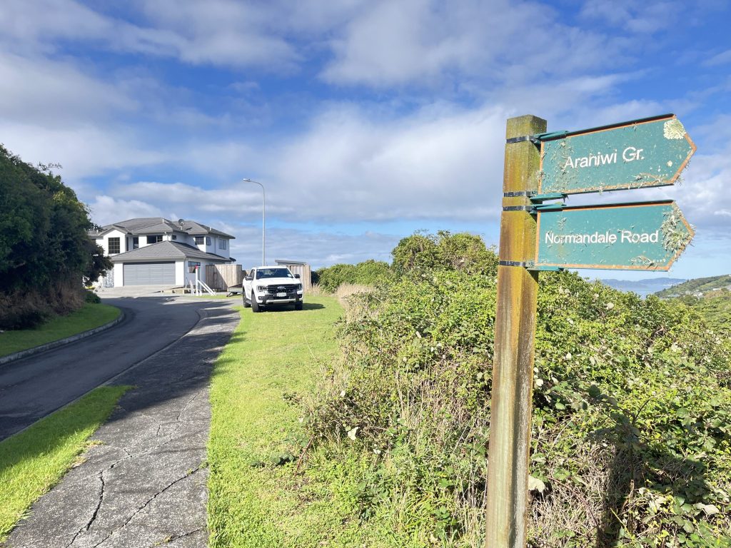
The Xyst team walked and geo-spatially mapped all 15 tracks that form part of the network, assessing the route, timing, gradients and ground conditions as well as identifying existing signage and assessing the quality of such. Xyst then developed recommendations for new signage, identifying the location, sign type and content of each. Xyst provided Hutt City with a high-level cost estimate for the development, production, removal of old signs and installation of new improved signage.


