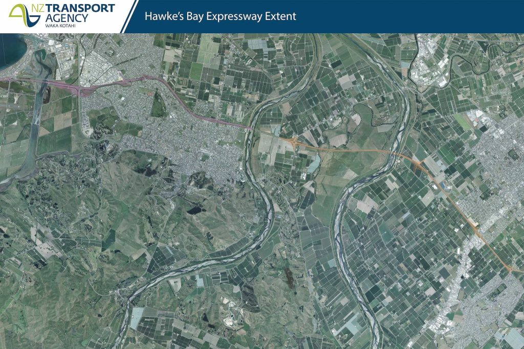
We drew upon a range of spatial information to develop the bespoke maps. These maps showed roading designations across the two Councils as well as neighbouring property boundary lines and other key spatial data. We then arranged the printing of two high resolution maps at 3m x 1.5m, including graffiti guard to install on the office walls for staff use in upcoming Roads of National Significance projects.
Hawkes Bay Expressway Mapping
Project Benefit
Xyst produced a set of two detailed maps of the Hawkes Bay Expressway for Waka Kotahi/NZTA and procured a signage company to manufacture and install inside the TREC office in Napier.
Related Services
Open Space Planning
Open space planning encompases everything to do with policy for open spaces in our communities including parks and playgrounds
Related Team


Senior Landscape Architect
I am a registered landscape architect with over 15 years in the field. I have significant experience working for local government and private practice on the design of open spaces including regional ...


Senior Parks and Facilities Consultant
As a consultant with Xyst, I help local government and other agencies plan and deliver parks and recreation benefits for their local communities. This involves supporting clients with a broad range...

