
Yardstick Trails User Survey
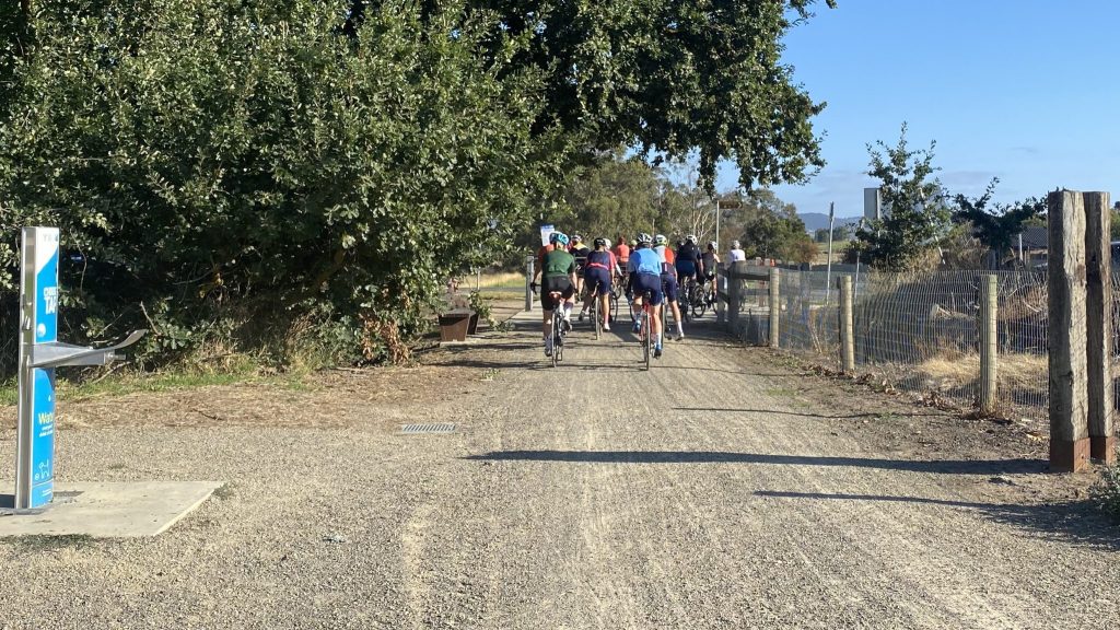
Yarra Ranges Council asked Xyst to carry out a targeted intercept survey of the Lilydale to Warburton Rail Trail and the Yarra Valley Trail. For the survey we used the Yardstick Trail User Survey developed specifically for Yarra Ranges in 2019, and suitable for use on any trail. The survey includes a set of questions […]
Alps 2 Ocean East Pukaki Trail Development
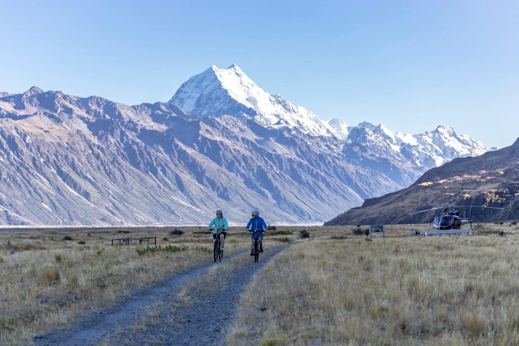
Following multiple funding applications and work scoping the East Pukaki development, Xyst led the procurement process. Work was divided into two distinct packages, structures and trail building. This approach allowed for targeted expertise and efficient delivery. An open competitive tender was conducted via the Government Electronic Tender Service (GETS), ensuring transparency and broad market engagement. […]
Remutaka Cycle Trail Wayfinding
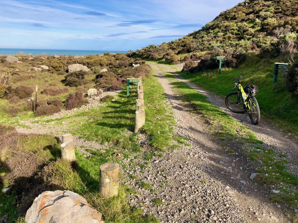
Xyst reviewed the existing signage along the Remutaka Cycle Trail, identified inconsistencies and gaps, and developed a comprehensive wayfinding plan. This included a full audit of current signs, mapping of decision points, and the design of a unified signage system. The plan details types, locations, and content for new signs, including plinths, blades, bollards, and […]
Ashburton Trail Feasibility Study
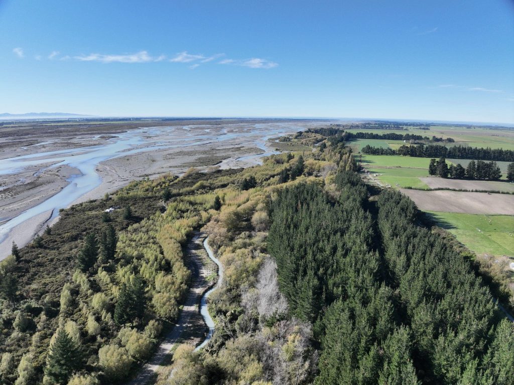
Trail route options were assessed in conjunction with a review of previous trail proposals, the cycle tourism market, insights from established cycle trails, land ownership constraints, and potential commercial opportunities. The study examined the technical, financial, and operational requirements for developing a destination trail that could benefit the local economy, while also identifying potential challenges […]
Western Hills Trail Signage
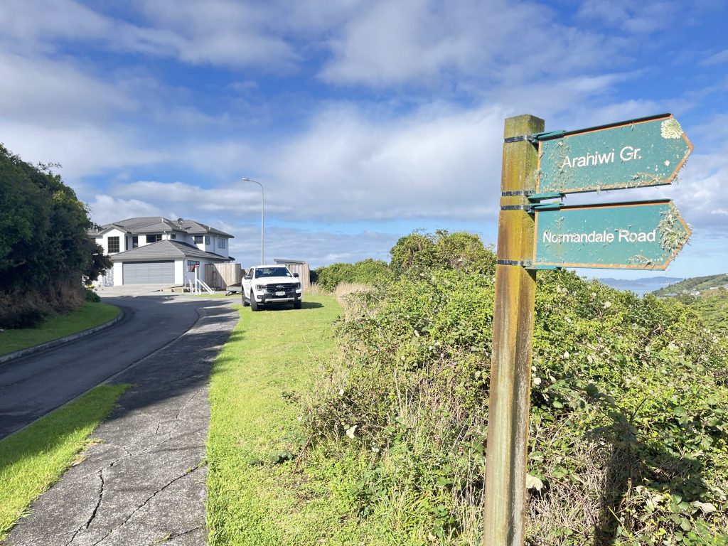
Assessment and Recommendations Report The Xyst team walked and geo-spatially mapped all 15 tracks that form part of the network, assessing the route, timing, gradients and ground conditions as well as identifying existing signage and assessing the quality of such. Xyst then developed recommendations for new signage, identifying the location, sign type and content of […]
Alps 2 Ocean Trail Manager Secondment
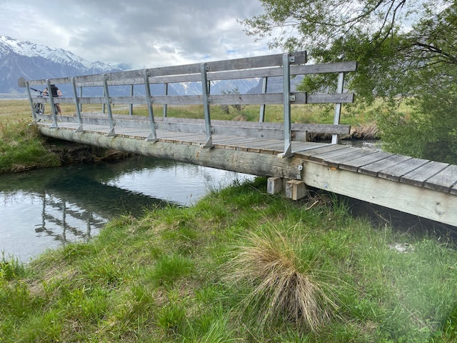
The Waitaki and Mackenzie District Councils engaged Xyst to provide a Trail Manager for the Alps 2 Ocean (A2O) cycleway until a candidate could be recruited. Our trails specialist stepped into this role for 6 months, which entailed covering the trail’s capital programme delivery, including the East Pukaki Trail off-roading, signage upgrades and various other […]
Hilltop to Akaroa Trail Feasibility Assessment
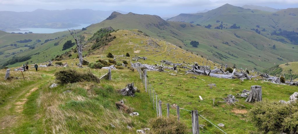
The Rod Donald Banks Peninsula Trust was looking to explore opportunities to create a walking and cycling route between Hilltop and Akaroa, an extension of Te Ara Pātaka (Summit Walkway), which they manage alongside other organisations. The Trust engaged Xyst to undertake a mainly high-level desktop exercise to scope out potential route options after undertaking […]
Eastern Hills Tracks
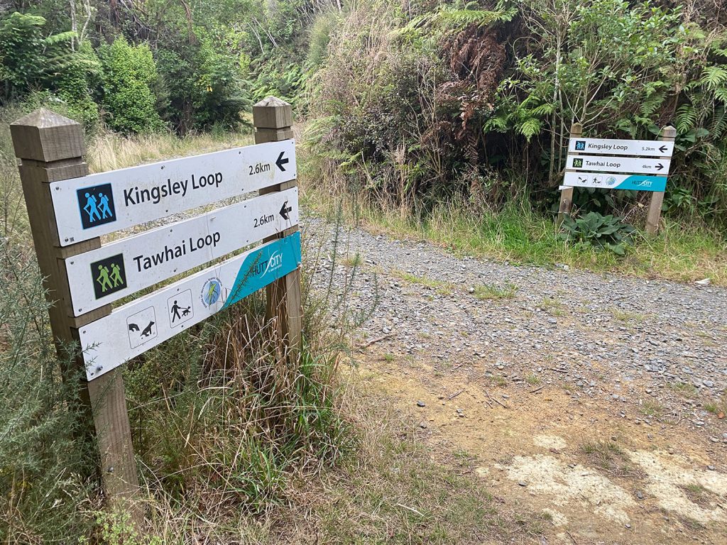
Network Assessment, Recommendations and Signage Plan Xyst physically inspected the full network of Eastern Hills Tracks in Hutt City Council to inform a track signage condition report, with an associated spatial plan showing existing signage locations and images. We then developed a signage plan to improve track user way-finding and safety. We made recommendations for […]
Twizel Man Made Hill Development
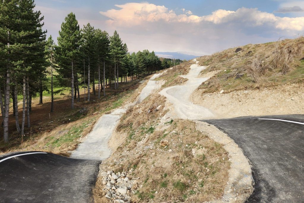
The Twizel Community requested the transformation of “Man Made Hill”, an untidy mound of spoil from the Ministry of Works days. In response, Xyst crafted a concept plan for review and implementation by the Mackenzie District Council. The project’s primary goals were to engage the community, revegetate the hill, and enhance the existing walking trail. […]
Tom O’Neill

As a Consultant at Xyst, I deliver expertise in Level 3 Playground Safety Inspections (ensuring compliance to NZS 5828:2015), project management, and asset management, alongside planning, research, and service delivery for Councils and community organisations. I often work closely with local communities and key stakeholders to gain meaningful input and reflect their perspectives in the […]
Anne Relling

To assist councils and other agencies, I work with them to complete strategic and asset planning to help meet the recreational and open space needs of their communities. I also undertake project management on behalf of councils to implement actions identified in their long-term plans. It’s important to understand every client’s needs. That’s why we […]
Dafydd Pettigrew

As a consultant, I have been involved with a mixture of parks planning, asset management, capital works delivery and programme management projects for councils, charitable trusts and Maori trusts. My role often requires a high degree of consultation and engagement with the public, key stakeholders and mana whenua. In any project, I work with people […]
Paul Wilson

My primary role is to manage the team at Xyst’s Napier office and to assist our other consultants to bring innovative, best practice solutions for our clients. I have deep knowledge across the key areas of Xyst’s services and share it for our collective benefit. I’m the go-to guy for technical issues and problem solving. I […]
Track Asset Review
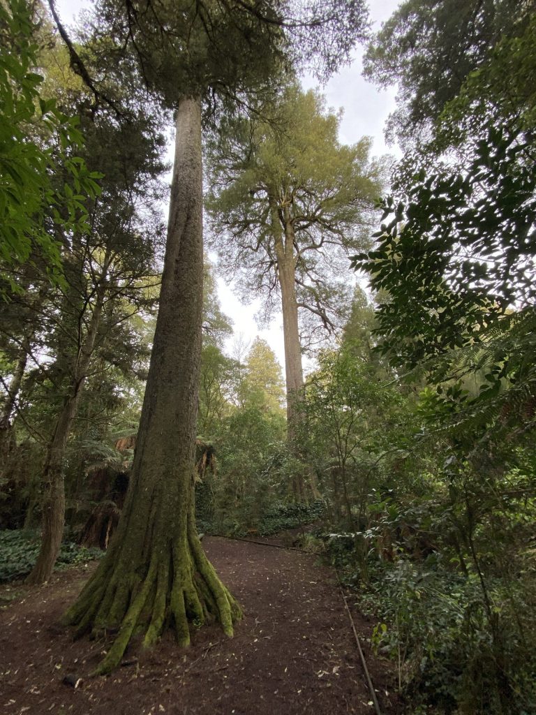
Undertook a detailed trail assessment of all Ruapehu District Council (RDC) managed trails using Xyst’s trail assessment system and against HB8630:2004. An individual assessment report has been prepared for every trail and this will include a complete assessment of all aspects of trail provision including visitor experience, current and recommended grade, accessibility, CPTED, hazards and […]
Regional Trails Master Plan – The Tracks and Trails of Western Australia’s Wildflower Country and Coast
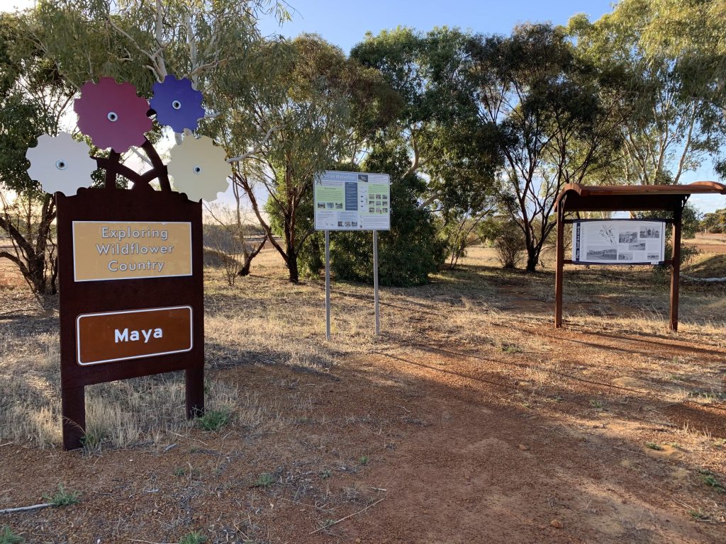
Western Australia’s Tracks and Trails – Wildflower Country and Coasts. Xyst broke the project down into specific tasks made up of: 1. Market Analysis Baseline Data Collation Initial Workshop Desktop Research Benchmarking Levels of Service Framework 2. Site Development: Existing Trails Preparation On-ground Assessments Face-to-Face Consultation Improvements Schedule Existing Trail Mapping 3. Site Development: Proposed […]